Territory management based on scientific evidence
Make decisions with confidence and transparency
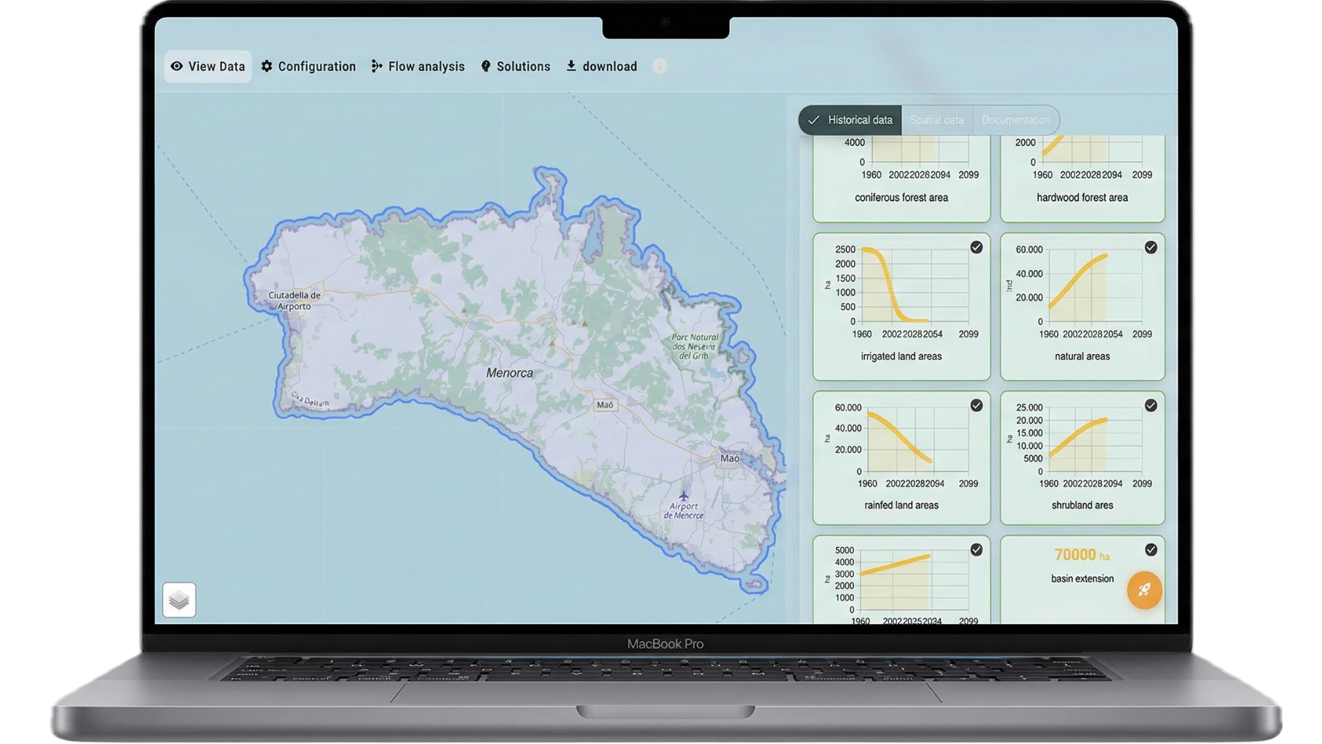
Everything you need to model your watershed in one place
Use validated system dynamics models for water, nutrients and land use.
Watershed modeling
Set up your area with GeoPackage, select modules and define inputs without coding.
Impact analysis
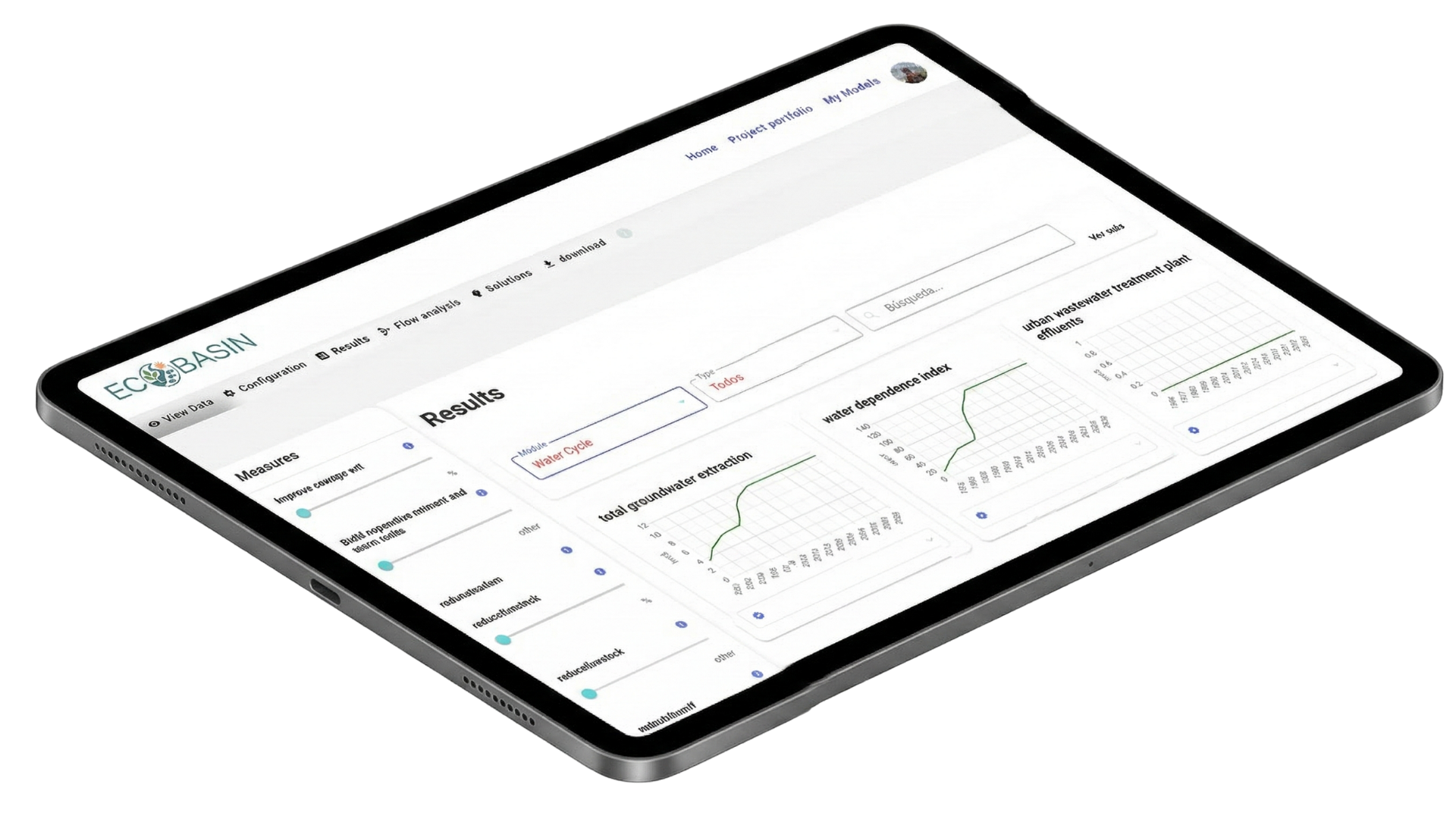
Assess water quality, nutrient flows, wastewater and land use with charts and Sankey diagrams.
Project management
Multiple runs, scenario comparison and mitigation measures in a single workflow.
Integrated visualization
Flow diagrams, basin maps and time-series results ready for reports and decisions.
One workspace that integrates model, data and results
Unify your basin, variables and scenarios in a single collaborative environment.
Model your watershed in three steps
From setup to analysis, we guide you at every step.
Configure and define
Choose model and modules, upload your GeoPackage and set input variables for your region.
Run and explore
Run the model and explore results with charts, Sankeys and scenario comparison.
Decide and share
Test mitigation measures, export data and share the project with your team.
How teams use ECOBASIN to make better decisions
What watershed managers and planning teams are saying.
"ECOBASIN lets us compare land-use and treatment scenarios in minutes. Essential for reporting."
"Sankey diagrams and KPIs give us clarity when presenting results to policymakers and the public."
Simple plans for watershed modeling
Choose the plan that best fits your team.
Smarter watersheds with ECOBASIN
Join teams already modeling and deciding with data.